
Spring of Yangtzi River-Tanggula Mountains at dawn in Tibet
The Changjiang (Yangtze) River descends from the glaciers at the northwestern foot of the snow-capped Geladandong, the main peak of Tanggula Mountains in Qinghai province. Twenty-one ice peaks tower 6,000 meters above sea level, forming the Tuotuo River, the spring of the Yangtze.
The Qinghai-Tibet Highway and the Qinghai-Tibet Railway cross the Tanggula Mountains at Tanggula Mountain Pass. This is the highest point of the Qinghai-Tibet Railway, and the highest point of any railway in the world, at 5,072 metres (16,640 feet) above sea level.
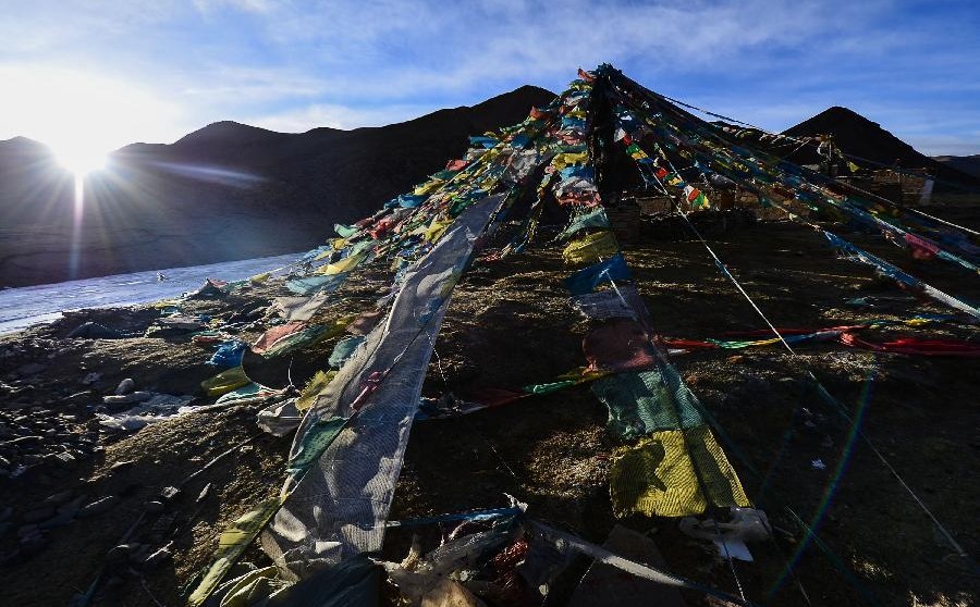
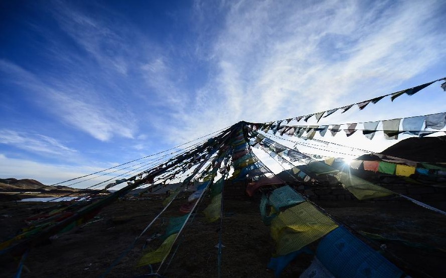
Photo taken on March 17, 2013 shows prayer flags in dawn in the Tanggula Mountains near the border between Qinghai Province and Tibet Autonomous Region in west China.(Xinhua)
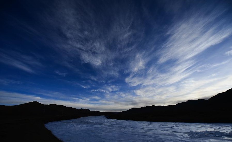
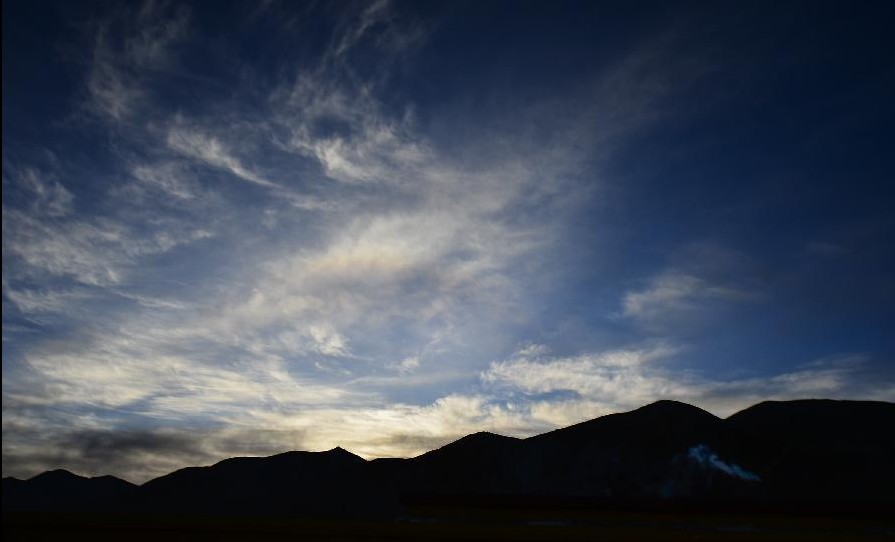
Photo taken on March 17, 2013 shows the Tanggula Mountains in dawn, near the border between Qinghai Province and Tibet Autonomous Region in west China.(Xinhua)
- Helicopter tour service will be launched in Lhasa
- Tourist can rent a shard bike in Lhasa now
- First original Tibetan cartoon to hit TV screens
- The world's highest tunnel in Tibet is to open
- Mount Everest area getting free WIFI
- Buddha-show ceremony in Labrang Monastery, Gansu
- Buddha-show ceremony in Qinghai
- Lhasa is filled with festive atmosphere